Reveal Your Crop's Potential with Advanced Imaging Techniques
Enhance your decision-making with Plant Cyber Synthesis's comprehensive drone-assisted crop monitoring services.
Contact usUpload Your Data
Upload RGB or multispectral imagery from any drone. We specially recommend the DJI Mavic 3 Multispectral (M3M) with RTK.
How it works
Gather Data
Capture imagery at your convenience using any drone or camera, and upload it to PCS. We recommend the DJI Mavic 3 Multispectral with RTK for best results, but we process data from a wide variety of sensors, including both RGB and multispectral.
Analytics and Insights
Use our platform tools to interpret and visualize the data. Get plant counts, tree counts, plant segmentation, and biomass estimation. Use vegetation indexes like NDVI or VARI to spot trouble areas across your fields.
Bring it to the field
Export prescription files compatible with GIS software or farming equipment.
Our Features
Get insights and practical data through our fully unified workflow, designed for processing and analytics in both agriculture and forestry.
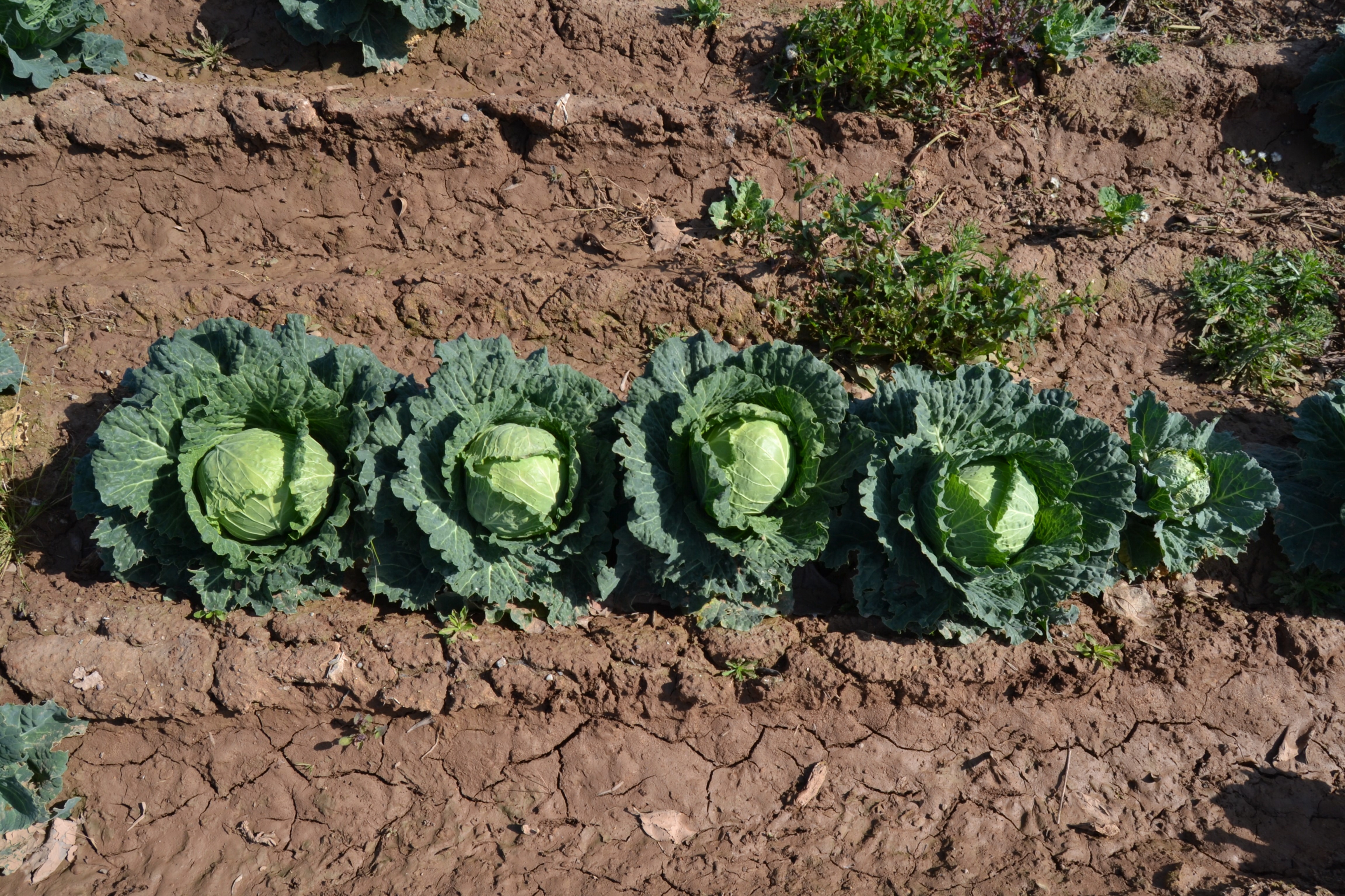
Plant & Tree Counts, Segmentation
Obtain precise plant counts and tree counts across the entire field. Our plant segmentation algorithms identify individual plants to gain insights into crop establishment and spacing, enhancing the accuracy of yield estimations.
Generate NDVI, FAPAR and other indexes for plant health maps
Spot possible trouble spots in the field using predefined vegetation indicators such as NDVI, FAPAR, NDRE, or VARI, or incorporate extra custom indices for a more comprehensive analysis.
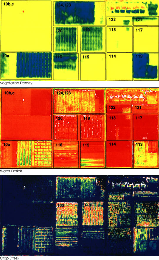
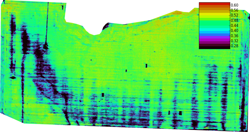
Biomass Estimation & Field Maps
Generate biomass estimation maps, vegetation density, water deficit, or crop stress maps to better understand your stands and optimize resource allocation.